At the center of each issue

Urban
Heat
Islands (UHI)

Energy
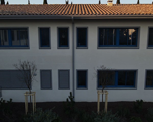
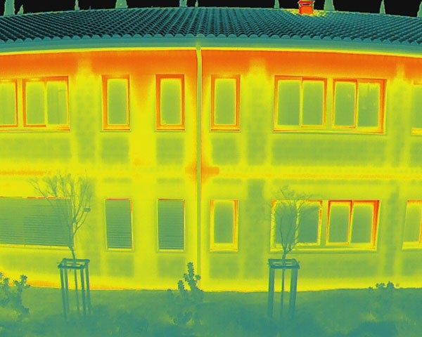
Losses
in Buildings
Performance
of Photovoltaic
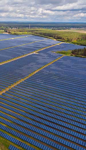
Power Plants
Thermography in the service of the territory
Satellite Studies
By using the latest satellite technologies, we identify temperature variations on a metropolitan or neighborhood scale across different seasons. This analysis provides a comprehensive perspective on urban overheating. According to the satellite data studied by our teams, the resolution can reach 15 m/px.
Drone Thermographic Inspection
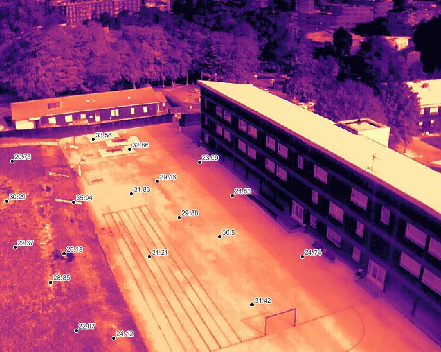
Our drones equipped with thermal sensors allow us to identify and map surface temperatures with great precision at a more local scale, such as a street, a school, or a corporate headquarters.
Modeling Development Projects
Our expertise allows us to model the current thermographic state of an urban configuration, as well as future development projects. Measures to restore cool islands can thus be evaluated before the completion of a project. We provide detailed maps expressing the positive impact of actions taken on the reduction of UHIs.
Highlight
the unmatched power of drones
Precision
Optimal resolution
and centimeter accuracy
Speed
Reduced intervention
and analysis time
Efficiency
Access to data
on our platform
State-of-the-art tools

Drone
Mavic 3T
Compact and ultra-precise thermographic drone
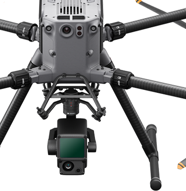
Drone
MATRICE 350 RTK
The reference drone for all terrains
Deliver
the best deliverables
Rjpg, thermogram, tiff…
On an innovative visualization platform,
dedicated to your teams
