Serving
all sectors
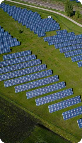
Solar
developpers

Construction
& roads

Roofs, canopies
& shade house
Survey your land with unmatched precision
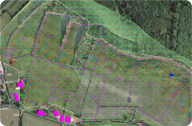
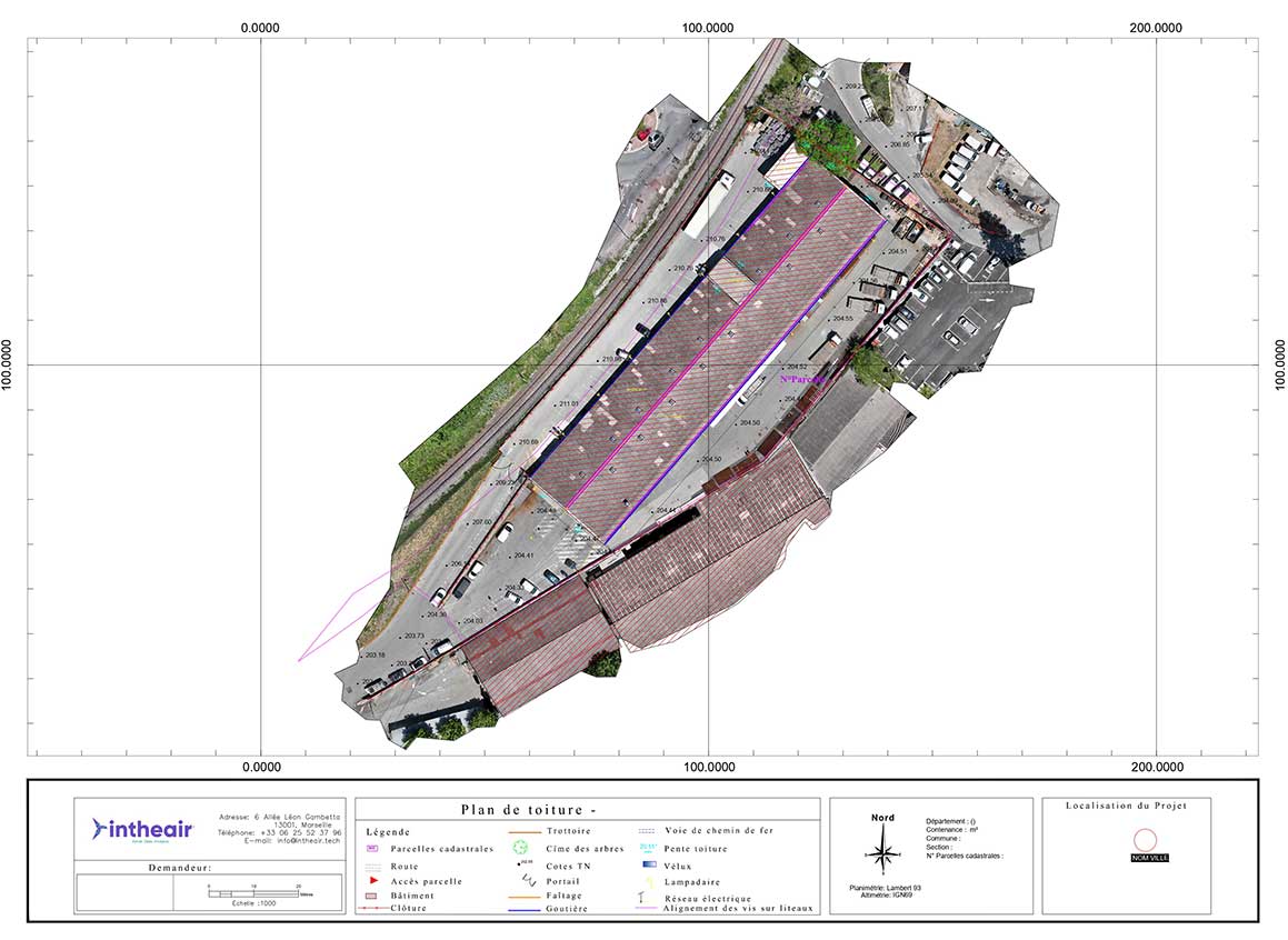
Optimize your infrastructure studies with topographic plans created by our teams of specialized surveyors and data scientists.
Our automation algorithms allow us to identify all types of visible and invisible elements such as drainage networks, ditches, pipelines, and underground infrastructure, and to calculate slopes for your installations. We can also calculate the cubic capacity of your earthworks, optimizing your cut and fill.
Our deliverable visualization platform allows you to view and utilize your 2D and 3D deliverables, ensuring seamless integration with CAD software suites.
Like hundreds of specialized companies, entrust your topographic project data analysis to Intheair. Schedule a 15-minute meeting with our dedicated experts.
Delivering
the best quality
DWG, PDF, 3D…
On an innovative SaaS platform,
designed for your team
Highlight
the unmatched power of drones
Speed
Reduced intervention
and analysis time
Increased safety
Hard-to-reach
and dangerous areas
Precision
Vegetation penetration
and centimeter accuracy
State-of-the-art tools
Drone
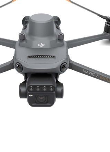
Mavic 3 RTK
Compact and ultra-precise photogrammetry drone
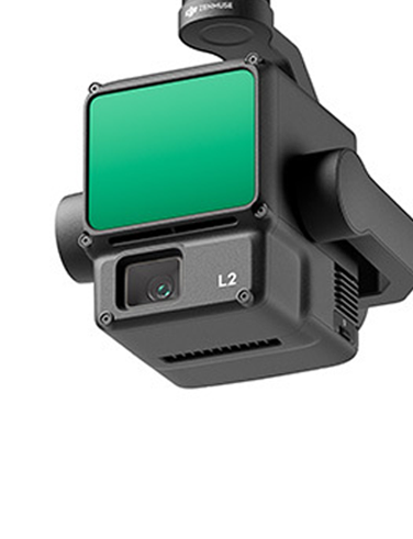
LiDAR L2
The ideal tool for surveying vegetated natural terrain

Drone MATRICE 350 RTK
The reference drone for all terrains
