For All Sectors

Industrial Sites
& Seveso
Plants

Pylons,
Electrical Lines
& Wind Turbines

Infrastructures
& Heritage
Sites
Rejuvenate Your Structures
Intervene at the Right Place
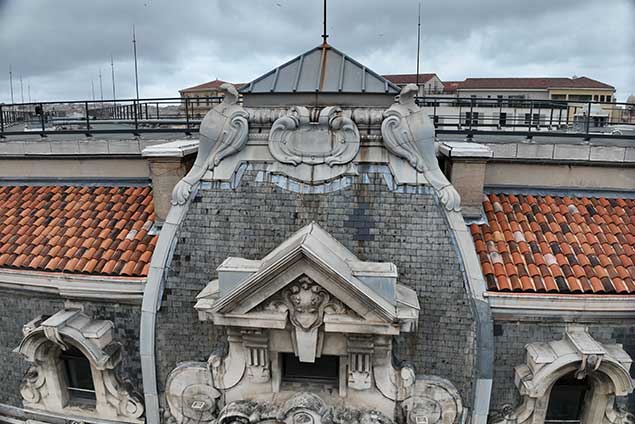
Intheair assesses the aging and damage to your infrastructure by combining several technologies: RGB camera, photogrammetry, LiDAR point cloud…
Our team of Data Scientists and our automation algorithms allow you to optimize the lifespan of your assets: the analysis of each issue is conducted with unmatched precision. Our deliverable visualization platform enables you to utilize your georeferenced data through the perfect digital twin of your infrastructure.
Identify Every Anomaly
In a context of aging structures, Intheair excels in identifying:
- Cracks, corrosion, erosion, failures, and structural damage
- Potential threats to facility safety
- Problems with coating, reinforcement, deformations and quality of material
- Aging, delamination, spalling, and degradation areas
Like hundreds of specialized companies, trust Intheair with the data analysis of your project survey. Schedule a 15-minute appointment with our dedicated experts.
Highlight
the unmatched power of drones
Precision
Optimal resolution
and centimeter accuracy
Speed
Reduced intervention
and analysis time
Efficiency
Data consultation
on our platform
Next-Generation Tools

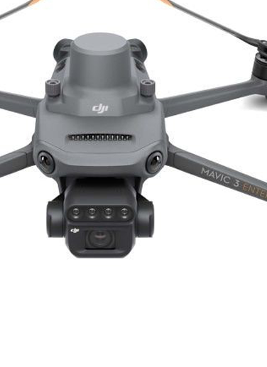
Drone
Mavic 3 RTK
Compact and ultra-precise photogrammetry drone

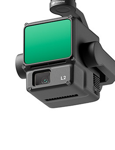
LiDAR L2
The ideal tool for surveying natural terrain in vegetated areas

Drone
MATRICE 350 RTK
The reference drone for all terrains
Provide
the Best Deliverables
DWG, PDF, 3D...
On an innovative visualization platform.


