Optimize your project cycle
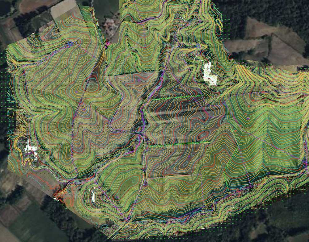
Topographic Studies
Our expertise allows us to combine the best advances in LiDAR and RGB to provide you with highly accurate deliverables: detailed topographic maps of your sites, high-density point clouds, DEM and DSM, and very high-resolution orthophotos.
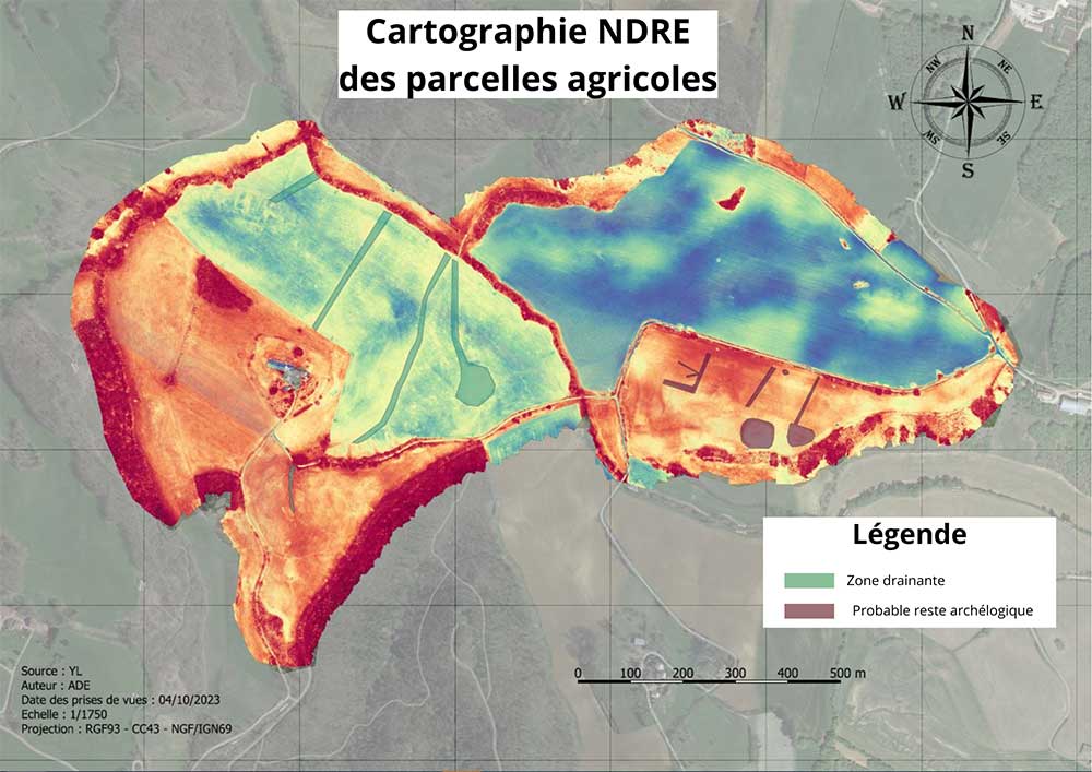
Drain Detection
By combining various technologies on our drones, multispectral, RGB, and infrared images, Intheair has developed a unique solution to geo locate these networks, ensuring the safe progress of your projects.
Anomaly Detection
Intheair offers its thermographic expertise for existing parks, as well as a complete solution for anomaly detection, to improve the energetic efficiency of your installations, optimize your maintenance interventions, and thus contribute to extending the lifespan of your panels.
Highlight
the unmatched of drones
Speed
Reduced
intervention and analysis time
Enhanced Safety
Difficult and
dangerous access areas
Precision
Vegetation crossing
and centimeter precision
Next-generation tools

Drone
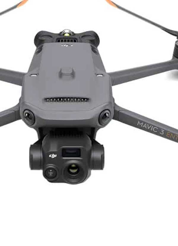
Mavic 3T
Compact and ultra-precise thermography drone

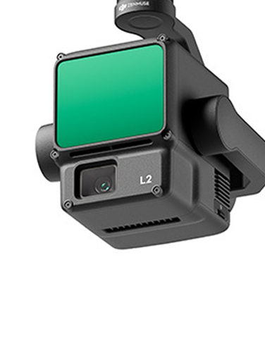
LiDAR L2
The ideal tool for surveying the natural terrain of vegetated areas

Drone
MATRICE 350 RTK
The benchmark drone for all terrains
Deliver
the best deliverables
DWG, PDF, 3D…
On an innovative visualization platform,
dedicated to your teams


